


Table Mountain
- Shana the Hiker
- Sep 27, 2021
- 5 min read
GRAND TETON NATIONAL PARK, WYOMING
Warning: this post contains a million photos because this hike was EPIC!!!
And spoiler alert: I finally broke the 11,000 foot elevation point!
Table Mountain is located on the west side of Grand Teton National Park. The trail is an 11.7 mile loop that starts out with a grueling climb of 4,000 ft in five miles and every single step is worth the view that finally reveals itself as you crest the summit, like an artist pulling the sheet off his masterpiece.
I did this trail on my way from West Yellowstone to Jackson. I got up super early, checked out of my hotel in the dark, and drove two hours to the Table Mountain trailhead. One benefit of an early start is getting to watch the sun rise along the way.

I arrived at the trailhead shortly before 9:00 am. I was greeted with this sign that loosely translates to: This trail will do a better job of waking you up than any coffee ever will.

Just a few yards in, I passed an older man hiking solo. Older as in 74-years-old, hiking what I considered one of my tougher hikes - WOW!! I hope my body is still going that strong thirty years from now!
The trail started at an elevation of 7,000 feet and climbed about 1,000 feet per mile for the first three miles. It was a glorious workout for sure! Plus, the weather was great (44 degrees when I started) and the trees were in peak fall color, so it was a perfect hike.
Here's a quick snap early in the hike. The yellow trees are beautiful, but I took this pic as an attempt to show how steep the trail is - you can see it climbing straight up behind me!

Here are some pretty views on the way up. In the first picture, it's hard to see, but the mountain in the distance is speckled with bright yellow fall foliage. Incredible.

Love this pic of the white aspen bark and bright yellow leaves, in sharp contrast against the dark evergreens in the background.

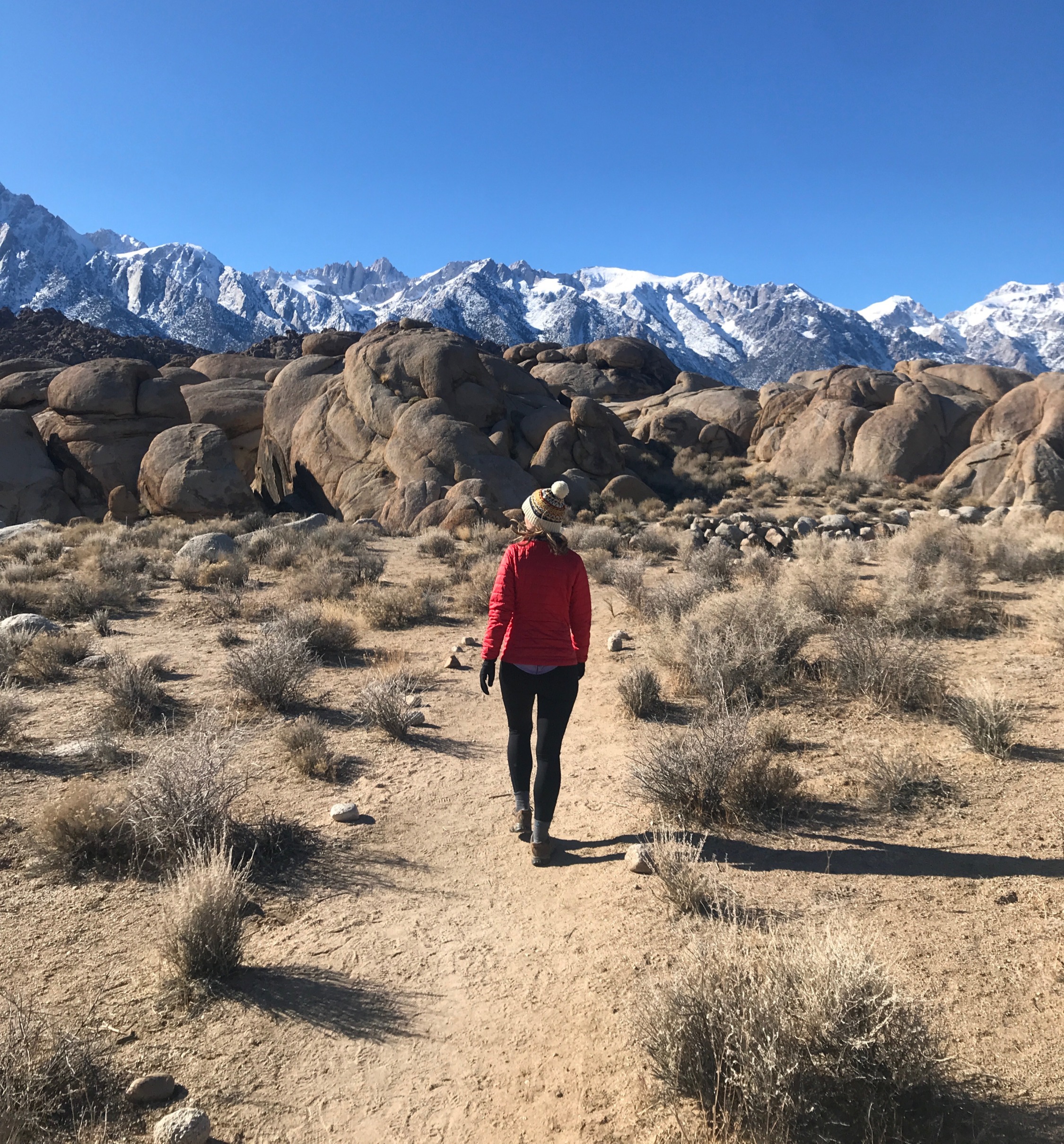
About 3.0 miles in, you clear the tree line and now have an unobstructed view of the mountains around you.

Shortly after this, you hit a huge rock field. There is no way to see where the trail is, except for the enormous mounds of rocks along the way ... and Table Mountain itself jutting out of the landscape ... a full mile ahead of you!

Here's a picture of one of those rock mounds. See what I mean about not being able to see the trail, yet knowing *exactly* where you need to go?

After the rock field, you are back on steady stable ground. But also, do these not look like car tracks to you?? Where is the road that goes up and down this mountain?!?

Check out this video of the scenery along the last mile of the hike.
The last half mile of the hike was incredibly steep and all the scree (basically, loose gravel) made it tricky. I had to plant each foot and be ready to catch myself if I slipped on the loose ground as I took my next step.
Before I did this hike, I read through the comments on AllTrails where someone said that as soon as you crest Table Mountain, the trail pops out to an incredible view and that you should try to get a video of your hiking partner's reaction.
So, right before I reached the top, I started recording and oh my gosh, I'm so glad I did.
I've done a LOT of hikes on this little adventure of mine, and none gave me the experience this one did. Here I thought the scenery was beautiful along the way, but it all quickly diminished after reaching the top and being presented with this incredible view. I gasped when I saw it.
I spent a good half hour at the top, freezing in the cold wind and my sweaty clothes, but I couldn't leave. It was so incredibly beautiful.
I loved how the light kept changing, illuminating first one rugged mountain and then the next. I'll spare you the dozens of pictures I have that I'd love to post, each identical except for some tiny change in light or in the clouds. This one is probably my favorite, but hard to say when I love them all!

Ok, one more just to show you what I mean about the changing light and clouds.

Going back down the mountain was trickier than going up. The loose gravel on the steep slope was the equivalent of sliding down a steep icy sidewalk. True, your lungs are no longer at danger of exploding when you're heading down, but hips and elbows and wrists are at danger if you fall!
As I was climbing down, the black clouds off to the right (you can sort of see them in the video, but not in the pictures) started rolling in. By the time I was on (relatively) flat ground, the clouds were beginning to envelop the mountain tops. And that's when I saw the 74-year-old man making his way up. Dang, he did it AND made pretty good time!
Here's a view of the trail I had just come up, with the rock field and the "tire tracks. It is still very steep and slick at this point.

Here's another angle of the same view. Can you make out the trails along the ridge and then down into the valley?

About a mile later, I'm starting down into that valley you saw in the picture above. You can see how the trail zigzagging below into the valley which is a sign of how steep this really is.

Also, notice the clouds covering the mountains in the picture above. After I saw the older man, I saw two 30-ish year old guys with their dog. I feel bad for all of them because they had to work so hard to get to the top and likely won't get to see anything. I definitely lucked out on my timing!
After I got to the bottom of the valley, the rest of the trail followed a creek, winding in and out of towering spruce trees that must be at least 100' tall, with bright yellow and red foliage covering the ground below.

I have a million pictures like the ones below, with the vibrant pops of red and yellow covering the mountains all around me. Impossible to capture how beautiful it really was.


I seriously cannot get enough of this place. It was so peaceful and walking under the towering spires, surrounded by mountains, makes you realize how small we are in this big wonderful world.

I tried to take a video of how tall the evergreen trees are, but it's impossible to capture. Let's just say there were areas where they had to be at least 100' tall because I saw little tiny pines, taller than me, that barely reached the lowest branches of the towering evergreens. The ground was covered in pine needles, so each step I took was cushioned and muffled. Even after such an epic view at the top of Table Mountain, the long loop back still managed to impress me.

Hands down, Table Mountain is the best hike in the Grand Tetons. I absolutely loved it. God willing, I'll be out hiking it again when I'm 74.
Total miles = 11.7
Total elevation gain = 4,058'
Peak elevation = 11,109'


Wow, Stunning fall foliage!! And “spruce” trees? You are now quite the botanist!